Nabarro Aerial · South London
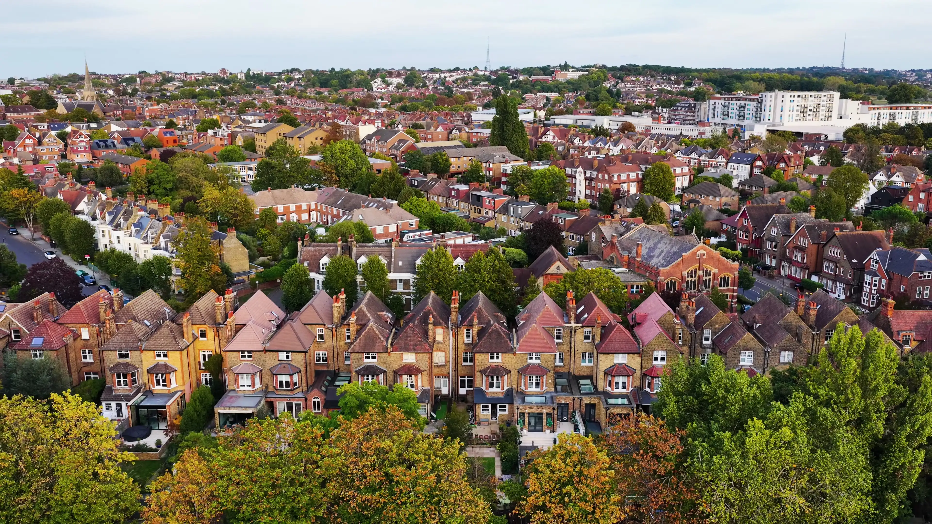
Drone roof surveys in South London
Plus solar feasibility surveys and aerial photography for property — all annotated and easy to follow.
- Prices from
- £150
- Turnaround
- From next working day
- Access
- No scaffold or ladder
- Operator
- CAA-registered and insured
Covering
- Balham
- Brixton
- Clapham
- Croydon
- Dulwich
- Lambeth
- Norwood
- Southwark
- Streatham
- Tooting
- Wandsworth
- Cotswolds
- Hertford
- Reading
- Sussex
Sample report
See a real roof survey report
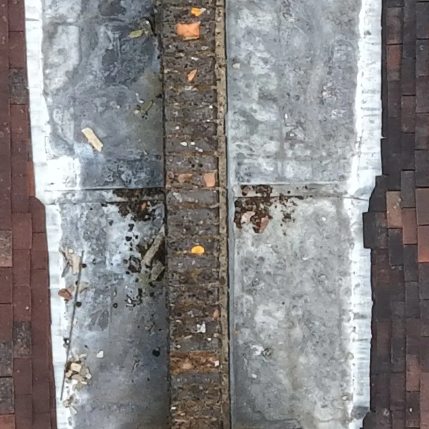
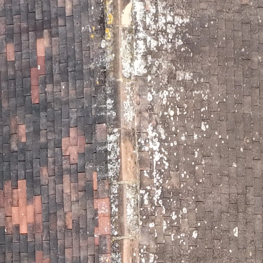
A survey of my own roof in South London. Six findings, each marked on the photo and shown close up.
View the sample report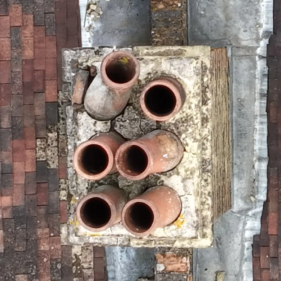
New · For homes in South London
A £25 roof check, from the air
About 10 photos and a plain verdict the next working day. Or a yearly plan from £25, so your roof gets a look before the winter.
Services
What I fly
Flown, annotated and delivered — pick what fits, or ask if you're not sure which one you need.
Compare all services01
Roof surveys and inspections
Annotated image report covering condition, damage and problem areas.
From £150
From £150
02
Solar feasibility surveys
Orbit capture turned into a 3D model, panel layout and a quote via my solar design partner.
From £195
From £195
03
Aerial photography for property listings
Edited stills and short video.
From £150 · Next working day
From £150
Next working day
04
Aerial maps, 3D models and measurements
Detailed aerial maps of land, and 3D models of properties, with measurements.
From £395
From £395
05
Insurance and property management condition reports
Dated, documented condition record.
From £295
From £295
What you get
How a survey reads a roof
Hover over or tap a number to see what each marker points to — the same way findings are marked on the images in your report.
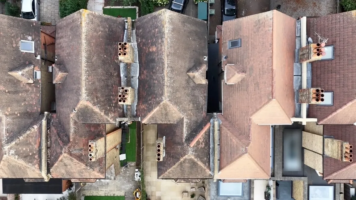
Roof surveys and inspections · From £150
Not sure where to start?
Start from your situation
Pick the situation closest to yours to see which service fits.
Leak or storm damage
Roof surveys and inspections
I fly over the whole roof, take a closer look at problems like missing tiles, and mark each finding on the photos in a report you can show a roofer.
It covers the outside of the roof, not under the tiles or inside the loft, so it may not show where water is getting in. If it's urgent, say so in the form: priority costs extra, and flights depend on the weather.
From £150
Buying a house
Roof surveys and inspections
Before you commit, I fly over the whole roof, including parts you can't see from the street, and mark any visible problems on the photos. It's not a replacement for a building survey.
I'm a drone operator, not a chartered surveyor.
From £150
Selling or letting a property
Aerial photography for property listings
I take aerial photos and a short video for your listing, and edit both. They show the property, its garden and its surroundings in a way ground-level photos can't.
If you want the roof checked before you sell or let, a roof survey is the better fit.
From £150 · Next working day
Roofer pricing up a job
Roof surveys and inspections
You get a first look at the problem before you quote, with no scaffold or ladder. I mark each finding on the photos, so you can show your customer what I found.
Measurements aren't part of a roof survey. If you need roof measurements for the quote, see aerial maps, 3D models and measurements.
From £150
Planning or fitting solar panels
Solar feasibility surveys
I photograph the property from the air, and my solar design partner turns that into a 3D model with panels placed on it, plus a solar quote.
I have partnered with a solar installation company. They will fit the photovoltaics and ensure correct location and measurements.
From £195
Looking after several properties
Insurance and property management condition reports
Each property gets a dated record of the condition of its roof and visible exterior, useful for maintenance planning.
Ask about pricing for several properties.
From £295
Need roof or site measurements
Aerial maps, 3D models and measurements
I build a 3D model of the property from overlapping aerial photos, and take roof and site measurements from it.
Tell me what the measurements are for in the form.
From £395
Selling or managing land
Aerial maps, 3D models and measurements
I fly the whole site in a grid and stitch the photos into one detailed aerial map of the fields, vineyard or estate, with the approximate boundary and area marked on it.
Boundaries and areas are approximate, not a legal survey. Tell me roughly where and how big the land is in the form.
From £395
Portfolio
Recent work
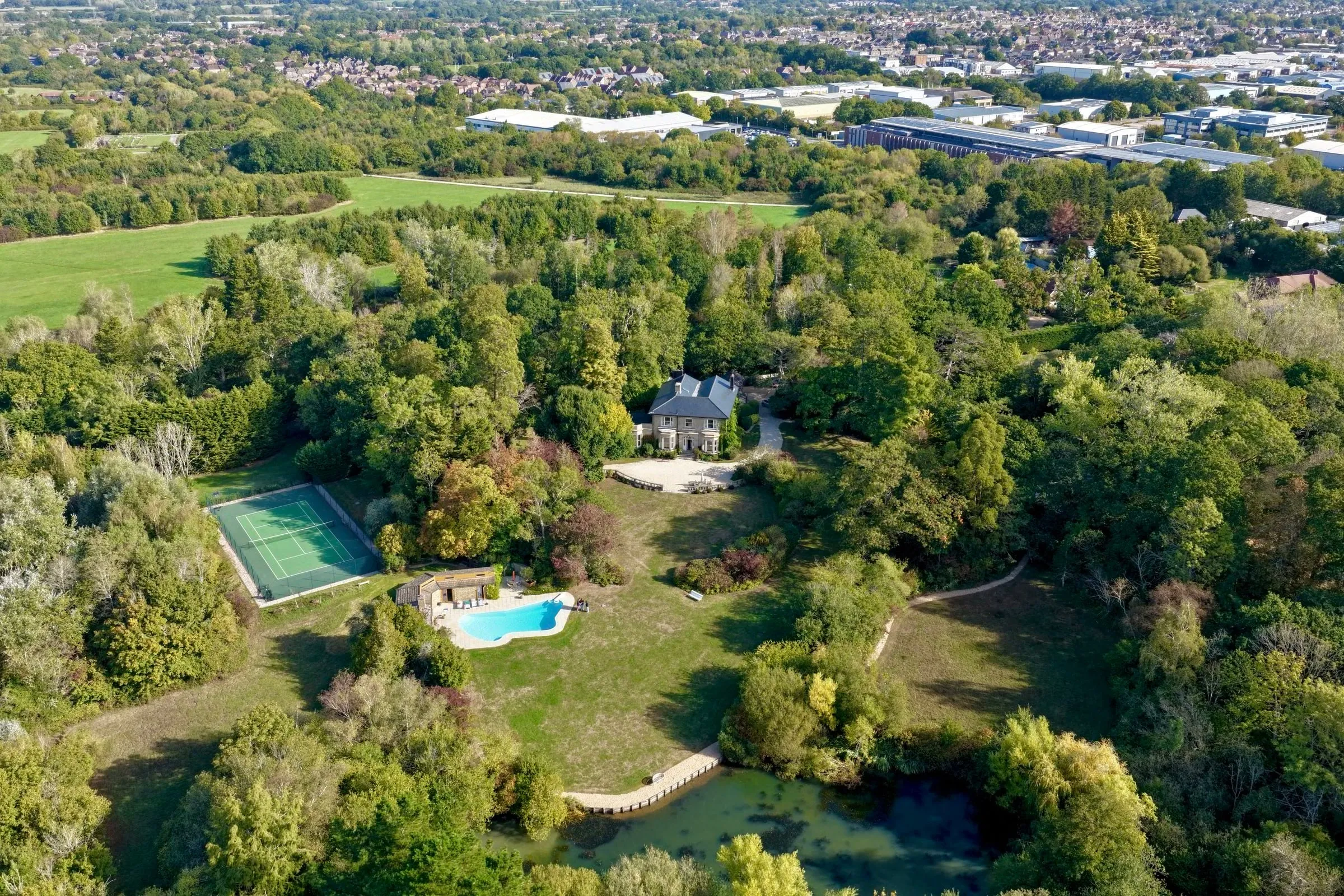
Aerial photography for property listings
Aerial photography — Hassocks estate
Hassocks
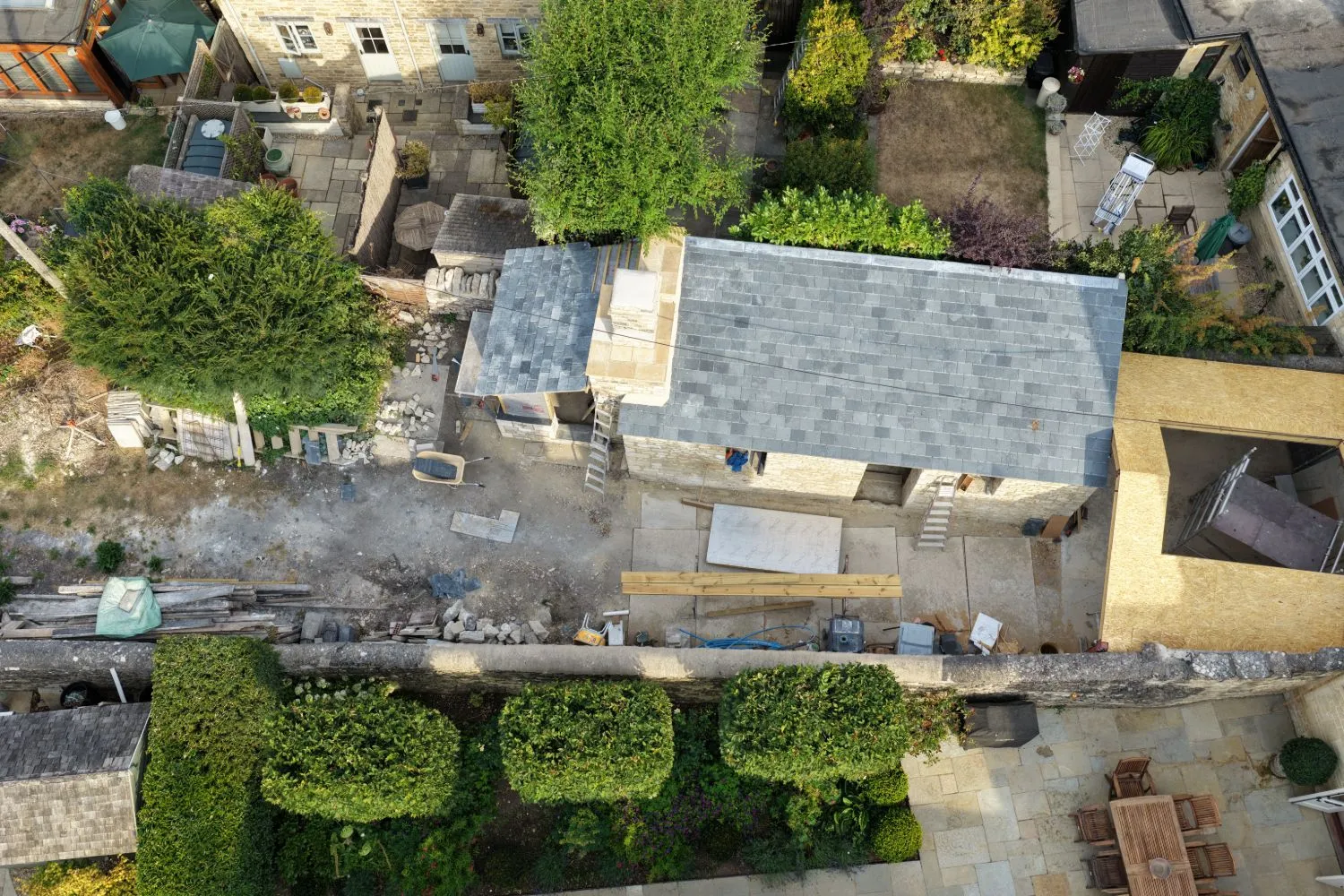
Aerial photography for property listings
Home extension — aerial documentation
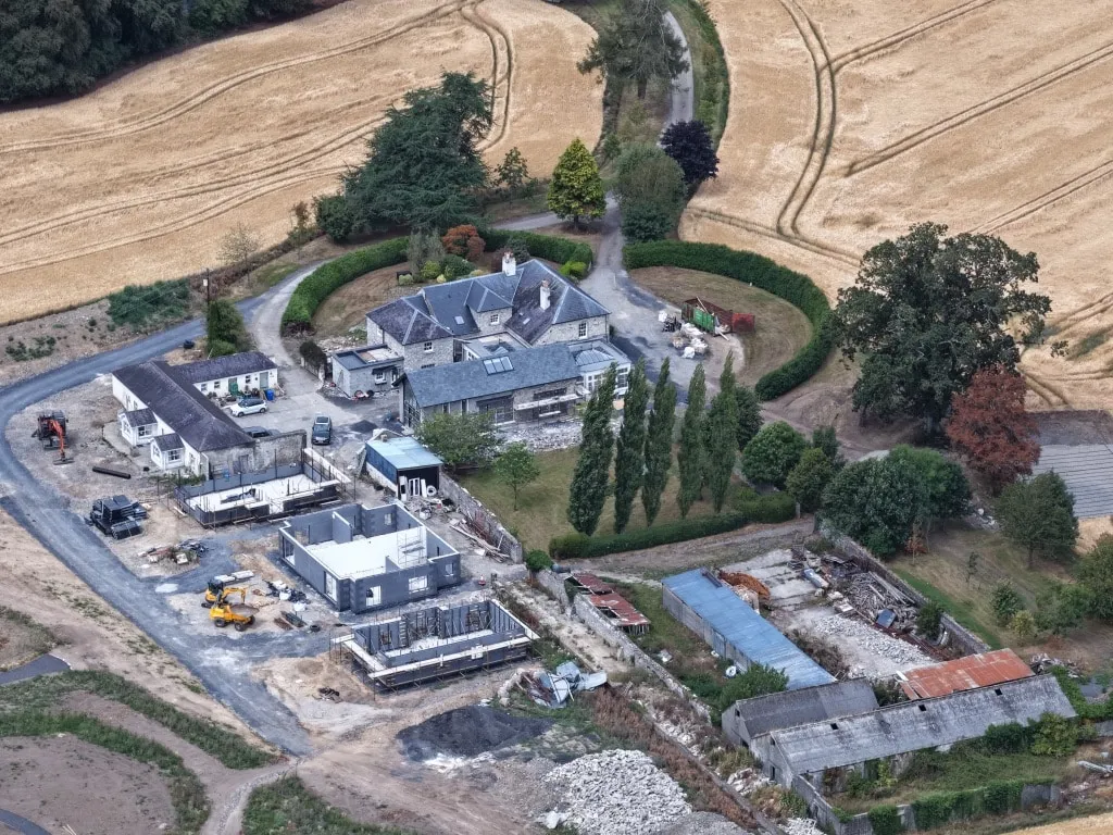
Insurance and property management condition reports
Construction progress capture — house redevelopment
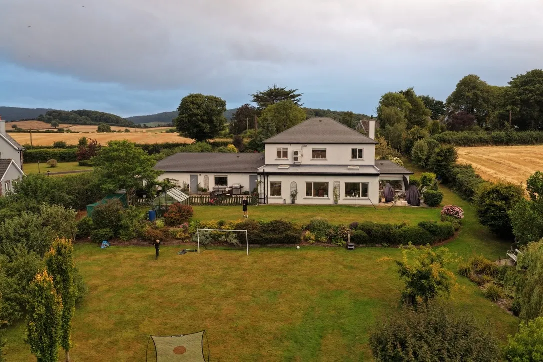
Aerial photography for property listings
Aerial photography — countryside family home
Ballycaroll, Ireland
- 01
Enquire
Tell me the postcode, the service, and any access details.
- 02
Quote
I confirm the price and a date. A £50 deposit secures it.
- 03
Fly
Subject to airspace clearance and weather.
- 04
Report
Your annotated findings, ready to review.
Weather
Flying weather this week
I don't fly in rain, so dry days are the ones to aim for. Pick the town nearest the property.
This is a guide, not a promise. Wind and visibility are checked on the day, and if the weather rules a flight out I'll rearrange it at no extra cost.
Forecast data from MET Norway, licensed under CC BY 4.0, summarised here into dry and rainy days.
CAA-registered operator
With a current Flyer ID.
Insured on every flight
£5m of third-party liability cover.
Airspace checked first
Every flight is checked against current airspace restrictions before it's booked in.
Weather delays cost nothing
If it isn't safe to fly on the day, I'll rearrange for the next suitable day at no extra cost.
Privacy first
Faces and number plates blurred, no exact addresses shown.
Ready to see your roof?
Tell me the postcode and what you need — I'll confirm a price and a date.